Land Surveyor

Massachusetts

Project Completion in 2-6 Weeks  

Free Estimates Provided within 24 Hours 

30+ Years of Industry Experience

Request Lorem Epsom

Hero Request Form

Professional Land Surveying Services

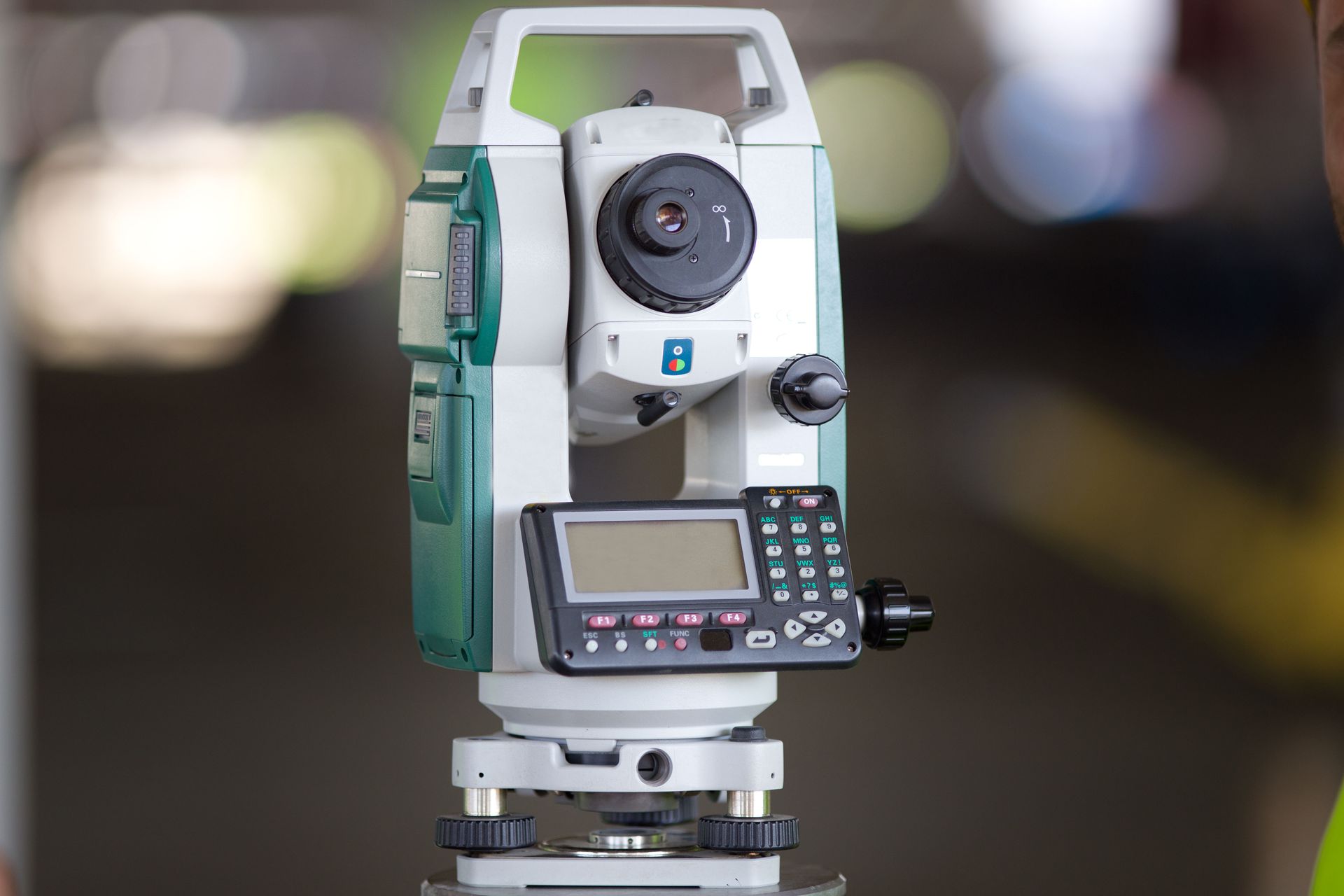
Since 1996, D. O'Brien Land Surveying has provided accurate, reliable surveying services throughout Massachusetts. With over 30 years of industry experience, our licensed and insured team brings precision to every project. We use advanced technology to deliver outstanding results while maintaining efficiency and accuracy. Your project receives the focused attention it deserves, from simple boundary surveys for homeowners to complex commercial developments. We understand that timing matters for your planning and development needs, which is why we complete most projects within 2-6 weeks, depending on complexity and scope. This allows you to proceed with your plans promptly while ensuring the accuracy needed for legal and construction purposes.


We begin by understanding your specific needs and goals. Before starting any fieldwork, we discuss your timeline, budget, and any concerns you might have. This consultation helps us deliver exactly what you need without surprises or extra costs. After completing fieldwork, our detail-oriented office staff processes the data carefully, creating clear, accurate documentation that fulfills all legal requirements. We provide free estimates within 24 hours of your inquiry, helping you make informed decisions about your project right away. Our pricing is transparent and competitive, without hidden fees. For property planning, boundary disputes, or commercial development, you can count on D. O'Brien Land Surveying to provide the accurate information you need. For professional land surveying services throughout Massachusetts,
contact D. O’Brien Land Surveying to request your free estimate and start your project with confidence.

D. O'Brien Land Surveying

Why Choose Us

A black badge with wavy edges containing a white checkmark icon and a small circle.

Project Completion in 2–6 Weeks

A black badge with a scalloped edge containing a white checkmark icon and a small dot.

Free Estimates Provided within 24 Hours

A black, scalloped-edge badge containing a white checkmark and a small white dot.

30+ Years of Industry Experience

D. O'Brien Land Surveying
A white checkmark inside a small white dot, centered on a black, rounded, scalloped-edge badge.

Fully Licensed and Insured

A black, scalloped-edge badge containing a white checkmark icon and a small white dot.

State-of-the-Art Technology

A white checkmark inside a small circle, set against a black, scalloped-edged badge.

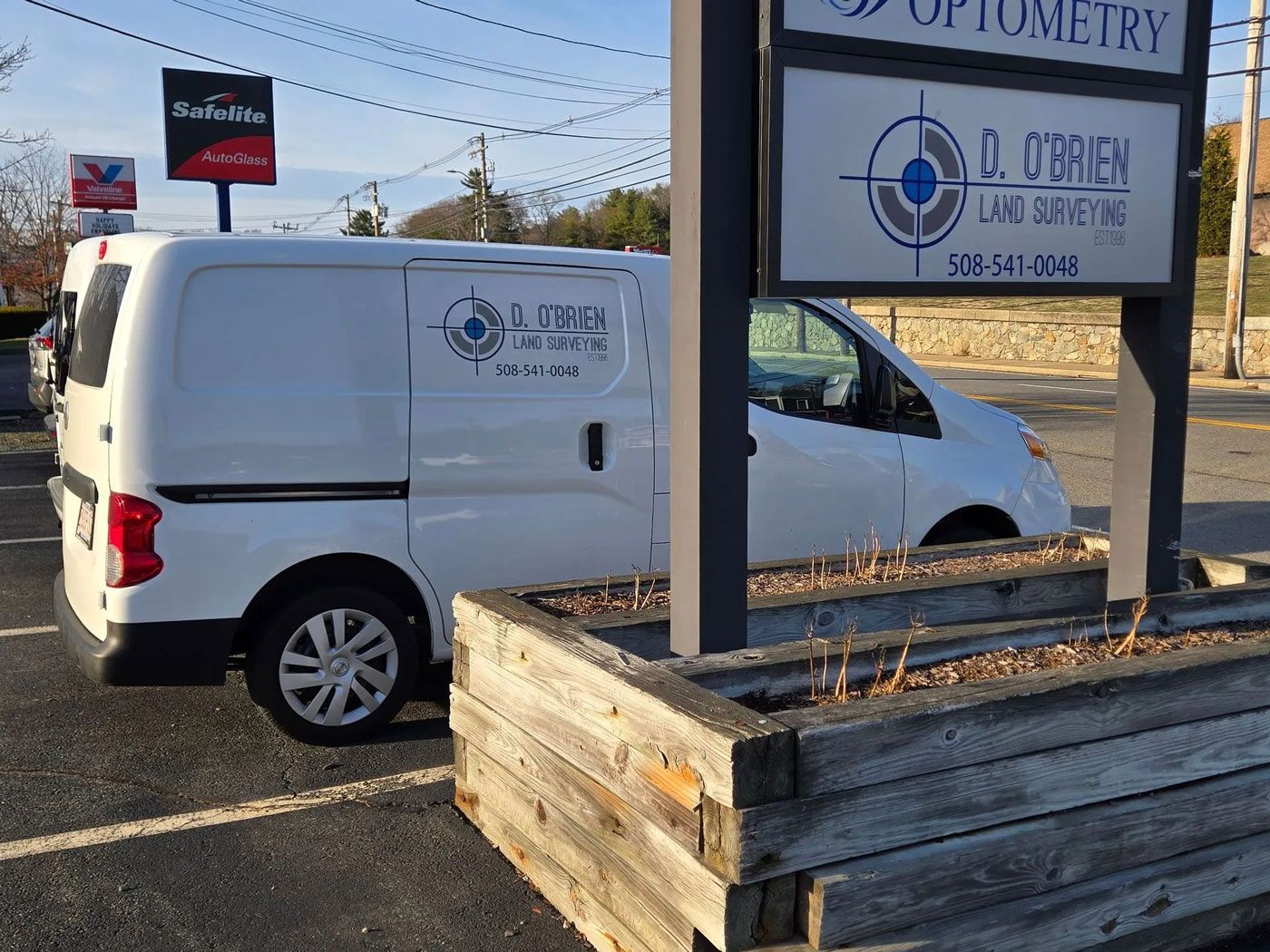
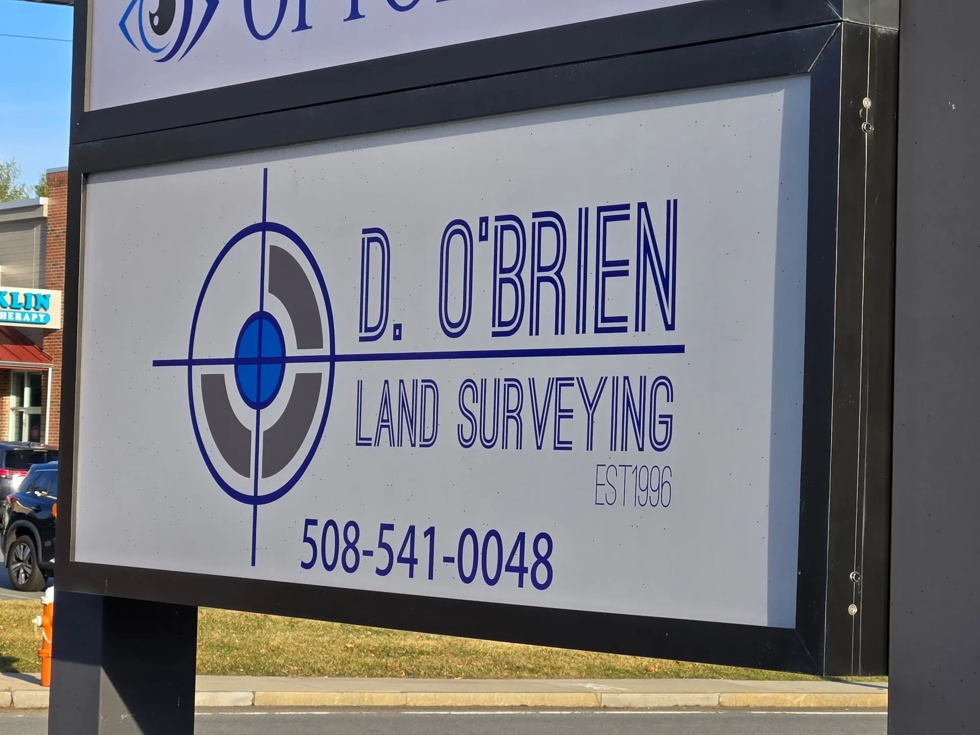
Serving All of Massachusetts

A black icon of a surveying instrument or camera mounted on a tripod.

ALTA Surveys

Our ALTA/NSPS Land Title Surveys meet the rigorous standards set by the American Land Title Association and the National Society of Professional Surveyors. These thorough surveys are typically required for commercial real estate transactions and document property boundaries, improvements, easements, and encroachments. We collaborate with title companies, attorneys, and lenders to fulfill all specific requirements.
A black icon of a surveying instrument on a tripod over a map, with a location pin and a ruler next to it.

Boundary Survey

A boundary survey establishes the legal boundaries of your property, showing the exact location of property lines and any encroachments. Our surveys help prevent neighbor disputes and provide confidence when making improvements near property lines. We research existing deeds and records, then conduct precise field measurements to establish accurate boundaries.
A black icon of a surveyor’s transit instrument on a tripod positioned next to a measuring rod.

Commercial Land Survey

Commercial land surveys demand careful attention to detail due to their complexity and significant investment value. Our team has substantial experience with commercial properties across Massachusetts, delivering comprehensive surveys that address zoning requirements, easements, access rights, and other important factors. We help developers, investors, and business owners make smart decisions about their commercial property investments.
A stylized icon of a person wearing a hard hat, operating a surveyor’s total station on a tripod beneath a gear symbol.

Construction Survey

Construction surveys create reference points and measurements that guide the building process from beginning to end. We provide accurate layout data for buildings, roads, utilities, and other structures before construction starts. Our services ensure your project follows the plan, minimizing costly errors and delays during construction.
A black icon of a push-cart or lawn mower emitting sound waves downward, indicating ground-penetrating radar or scanning.

Ground-Penetrating Radar Survey

Our ground-penetrating radar (GPR) surveys detect and map underground utilities, structures, and anomalies without digging. This non-invasive technology identifies potential hazards before construction begins, lowering the risk of unexpected costs and safety issues. GPR surveys are especially valuable for urban development projects where underground infrastructure is complex and often poorly documented.
A black icon featuring a house next to a document with a dollar sign and a percentage symbol.

Mortgage Survey

Mortgage surveys provide information lenders require to approve financing for property purchases. These surveys confirm property boundaries, identify improvements, and verify compliance with zoning regulations. We deliver accurate, prompt mortgage surveys that facilitate smooth real estate transactions and financing approvals for residential and commercial properties throughout Massachusetts.
A black icon of a document featuring a house outline and a magnifying glass with a checkmark, representing a home inspection.

Property Surveying

Our property surveying services cover all aspects of land ownership and development. We document property boundaries, topography, structures, easements, and other features affecting property use and value. These surveys serve as important tools for planning, development, and resolving disputes related to property lines and usage rights.
A black icon showing a surveying instrument on a tripod next to a vertical graduated ruler.

Residential Land Survey

Residential land surveys establish clear boundaries for homeowners planning improvements or addressing neighbor disputes. We accurately measure and document your property lines, existing structures, easements, and encroachments. Our surveys help homeowners make informed decisions about fences, additions, outbuildings, and other improvements near property boundaries.
A black icon of a clipboard with a checklist, a pencil, and a hard hat, representing safety or construction inspection.

Site Planning Survey

Site planning surveys provide essential information for effective property development. These detailed surveys include boundary lines, topography, existing structures, utilities, easements, and other features that affect development options. We partner with architects, engineers, and developers to deliver the precise data needed for efficient and compliant site planning.
A black silhouette icon of a person wearing a hard hat, standing next to a camera mounted on a tripod.

Subdivision Plan Surveys

Subdivision plan surveys divide larger parcels into smaller lots for development or sale. Our team manages the complex requirements of subdivision planning, including local zoning compliance, access considerations, and utility planning. We create accurate subdivision plans that satisfy all legal requirements and streamline approval processes with local planning boards.
A black-and-white icon showing a drone scanning a surface with a projected grid pattern.

Topographical Surveying

Topographical surveys map elevation changes and physical features of your land, providing crucial data for site planning and development. These surveys identify natural and man-made features, contour lines, drainage patterns, and elements affecting land use decisions. Our detailed maps help architects, engineers, and landscape designers plan property improvements.
A black icon of a surveying instrument on a tripod positioned over a globe, symbolizing global surveying or mapping.

Utility Surveys

Utility surveys locate and map underground and overhead utilities, helping prevent dangerous strikes during excavation or construction. We use advanced technology, including ground-penetrating radar, to identify water lines, sewers, gas lines, electrical conduits, and telecommunications infrastructure. Our surveys provide vital information for safe, efficient planning of construction projects.
Gray square containing the text
D. O'Brien Land Surveying

CP #1 Headline

CP #1 Body

CP #1 CTA Lead-in

Not valid with any other offers or promotions. Restrictions apply.

Must mention this coupon at the time of scheduling.

D. O'Brien Land Surveying

CP #1 Headline

CP #1 Body

CP #1 CTA Lead-in

Not valid with any other offers or promotions. Restrictions apply.

Must mention this coupon at the time of scheduling.

D. O'Brien Land Surveying

CP #2 Headline

CP #2 Body

CP #2 CTA Lead-in

Not valid with any other offers or promotions. Restrictions apply.

Must mention this coupon at the time of scheduling.

Precision You Can See

A white work van with a company logo parked in a parking lot next to a commercial building sign.
Two white commercial vans are parked side-by-side in a parking lot, both featuring the same business logo on the rear doors.
A white sign for D. O’Brien Land Surveying with a blue and gray target logo, the phone number 508-541-0048, and "est. 09."
Three overlapping black speech bubbles, each containing dots to represent conversation.

Here's what our satisfied customers are saying...

At D. O'Brien Land Surveying, we take pride in providing exceptional land surveying services to our customers. We would be grateful if you could share your thoughts about our work with others. Your feedback helps us improve and helps others make informed decisions. Please take a moment to leave a review of D. O'Brien Land Surveying and let others know what you think.